


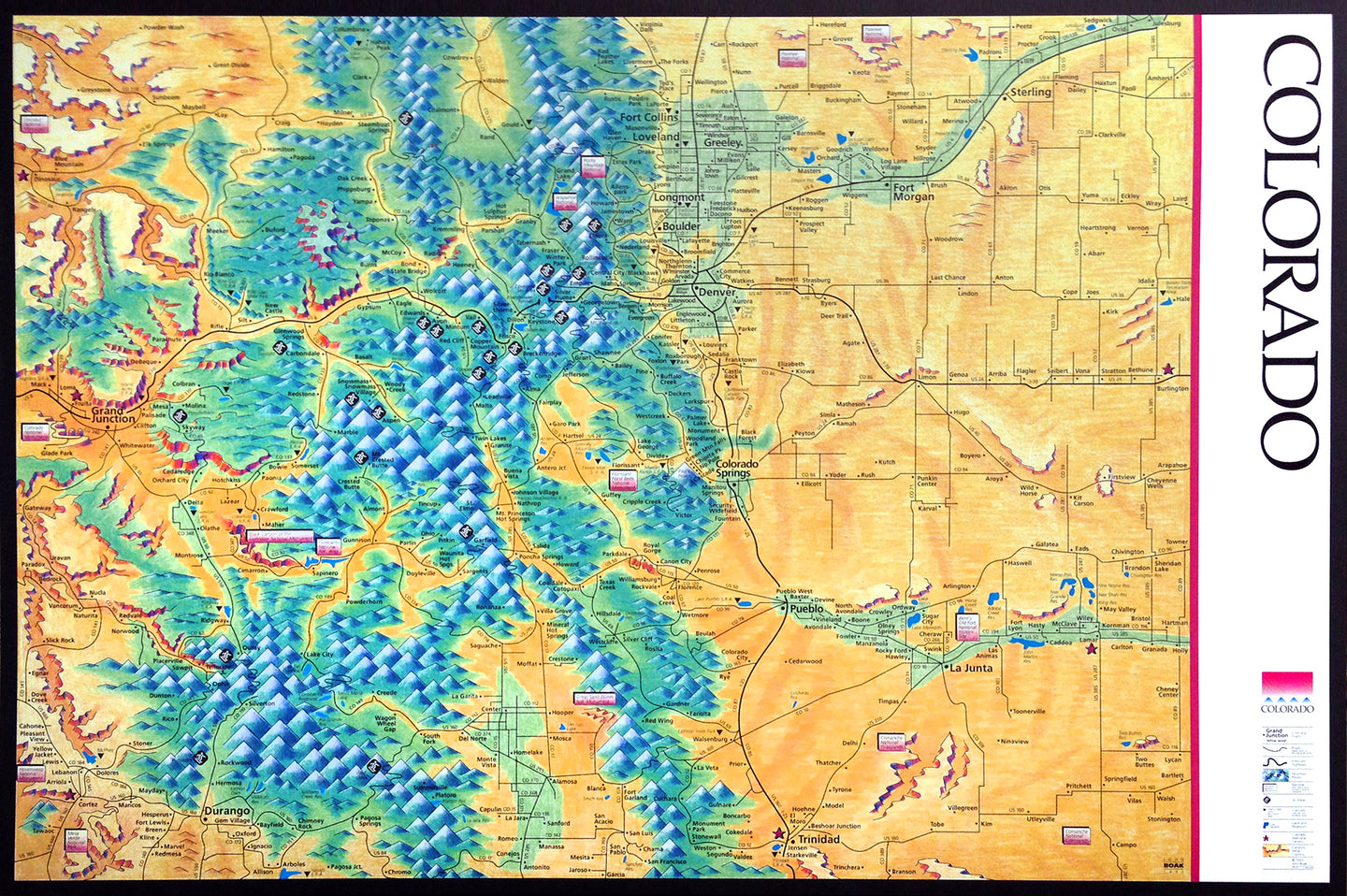


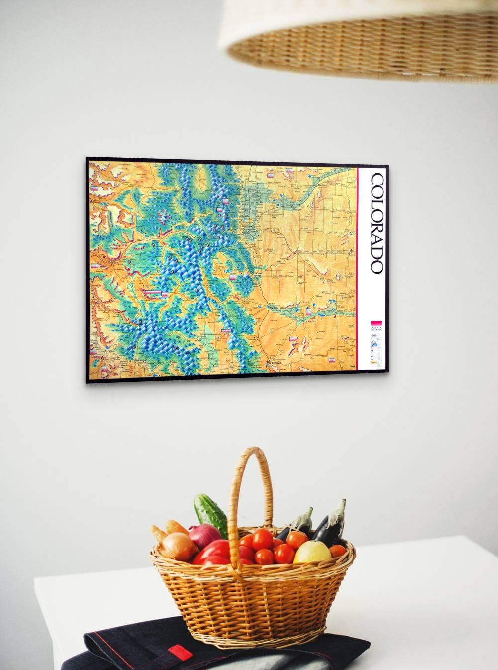
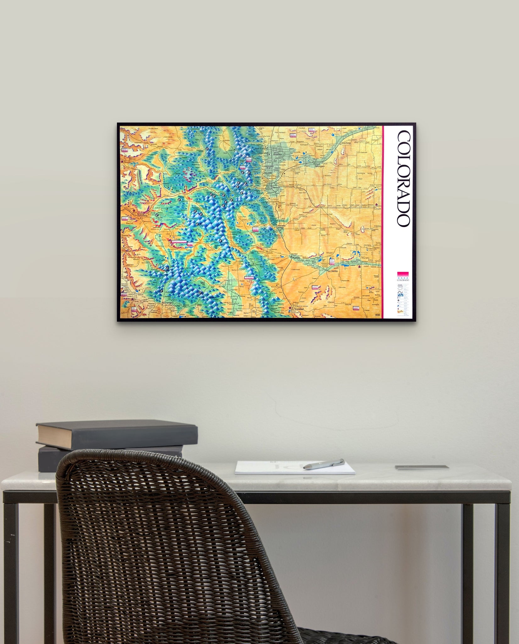
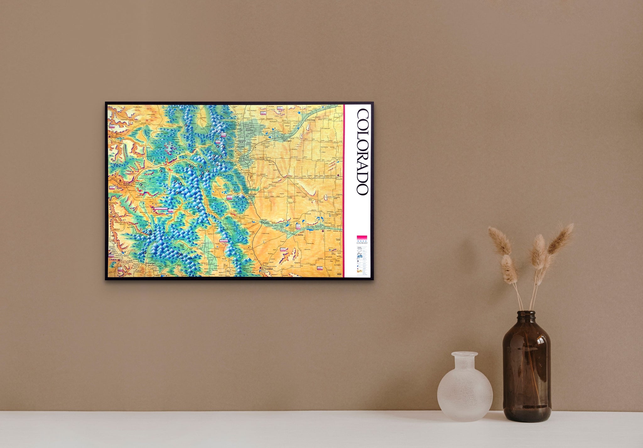

Illustrated Colorado map. This vintage map features a colored-pencil drawing of landforms. 18"x27." It shows major roads, towns and cities, national and state parks, and ski areas. I created this map as the center spread in the Colorado Tourism Board's yearly Vacation Guide in 1993. I printed this edition of posters. — This print is NOT FRAMED.